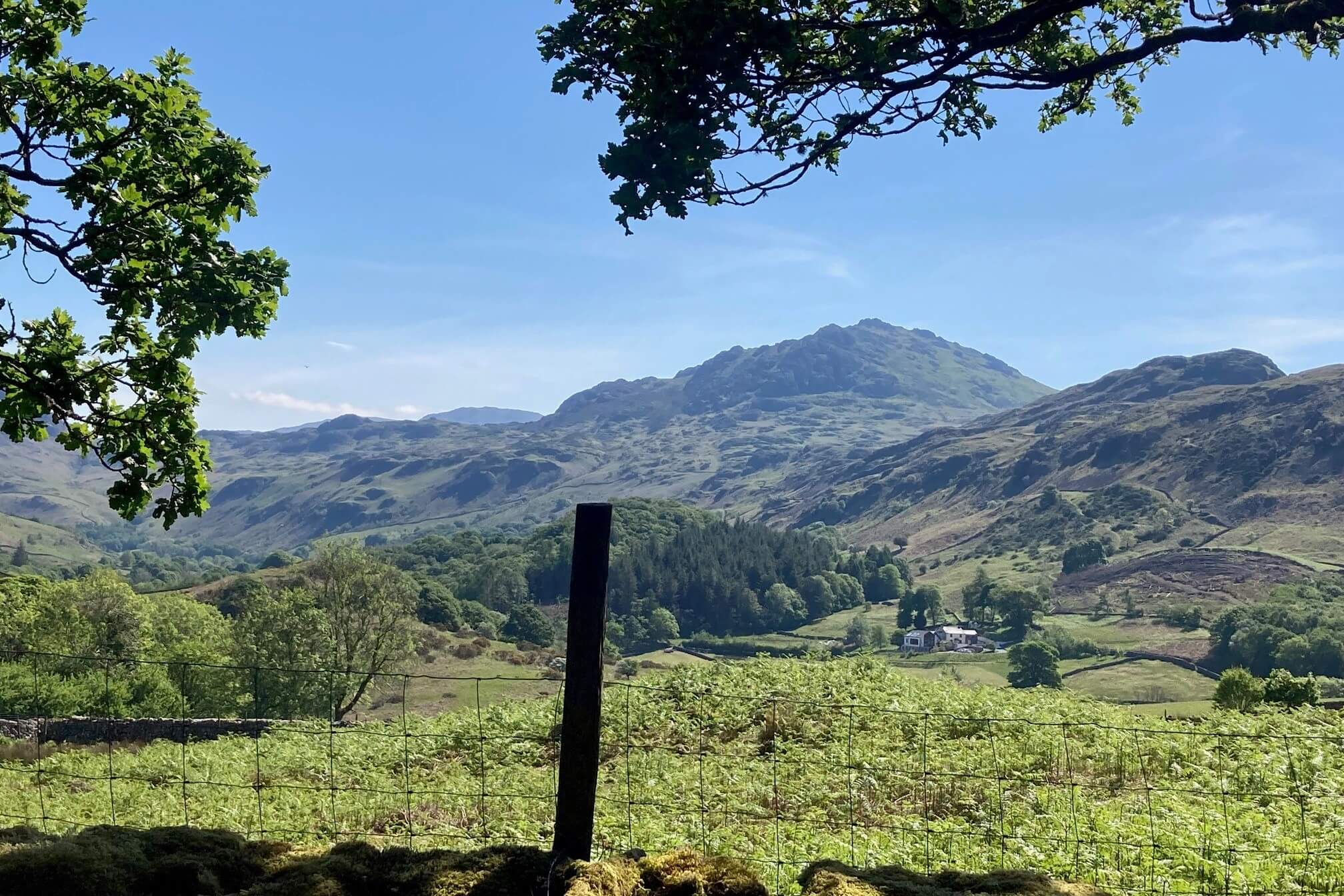
News & Stories
Discover latest updates, stories and statements
From campaign updates and project news to longer reads from the people and places that make Cumbria special.
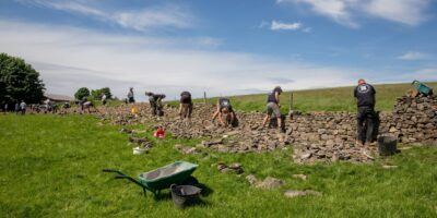
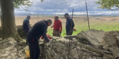
Dry Stone Walling Competition 2026 Results
There was a record turnout of wallers for this year's annual Dry Stone Walling competition. Find out the...
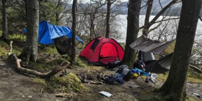
Our litter and fly camping survey returns
We running a survey to discover scale of litter and antisocial behaviour in the Lake District for a...
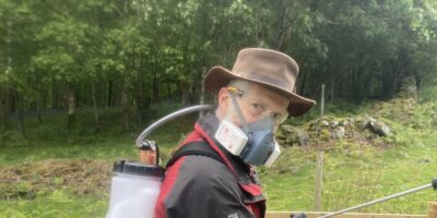
Time to experiment
In this week's blog, Jan updates us on Rusland experiments with sheep fat, and battles the micro climate...
Volunteer awards and dodgy wall heights
This week we've been honouring the volunteers and working with wonky wall heights.

Joint Open Letter calling for Fairer Housing, Stronger Communities press release
We’re calling for action to tackle the problem of short-term holiday lets and second homes in the Lake...
Joint open letter calling for Fairer Housing, Stronger Communities
We're calling for action to tackle the problem of short-term holiday lets and second homes in the Lake...

One year to go: a Blueprint for Cumbria’s first Mayor
Cumbria will elect a mayor for the first time in 2027. Over the next year, Friends of the...

Friends of the Lake District publish ‘A Blueprint for Cumbria’s first Mayor’
One year before the election of the first mayor of Cumbria, Friends of the Lake District has published...
Hedges and Edges project plants and restores 5km of new hedgerows
We're celebrating National Hedgerows Week (4-10 May 2026) having planted 2km of new hedgerows in Cumbria and restored...
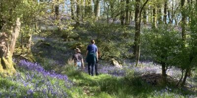
Bluebells and chocolate chips
Spring has come to Cumbria, the bluebells are out and the woods are looking, sounding and smelling amazing....
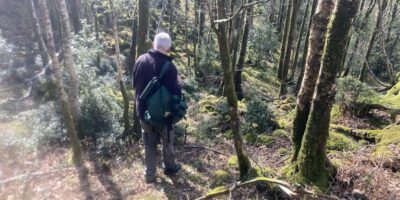
The Magic of Woodlands
Tackling invasive holly in Hows Wood in Eskdale, mighty oak trees, pine marten releases and catkins, and our...

Great Cumbrian Litter Pick 2026
Read about how the ninth Great Cumbrian Litter Pick went, when we linked up with the Tidy Town...